Welcome to Hurricane Advanced
Welcome to MyFoxHurricane's advanced page. This is home to some of the more complicated weather models and maps, including several exclusives that you'll only find here. But don't worry if you don't consider yourself a weather geek -- each map includes an explanation from the experts here at MyFoxHurricane.com.
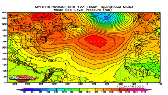
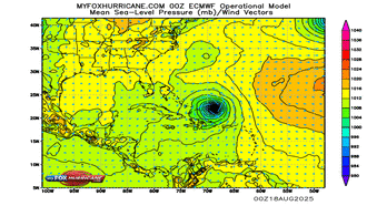
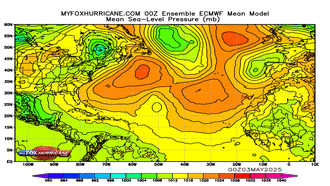
ECMWF (European) Model
-

ECMWF Operational Atlantic
-
ECMWF Operational Caribbean
-
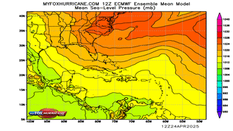
ECMWF Ensemble Atlantic
-
ECMWF Ensemble Caribbean
Atlantic View
-
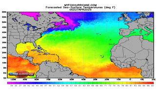
Sea Surface Temps
-
WRF Atlantic Model
-
Wave Heights
-
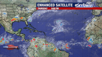
Atlantic Satellite

Caribbean View
-
Sea Surface Temps
-
Ocean Currents
-
Wave Heights
-
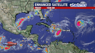
Caribbean Satellite


Gulf View
-
Sea Surface Temps
-
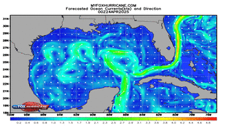
Ocean Currents
-
Wave Heights
-
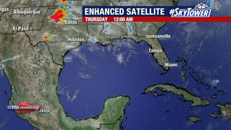
Gulf Satellite


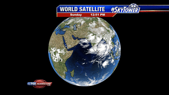
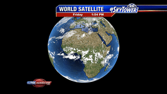
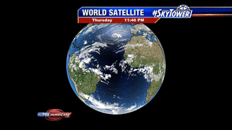
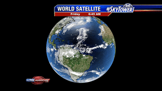
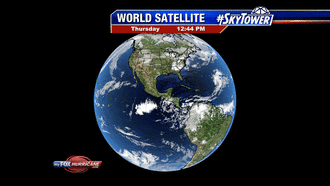
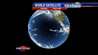
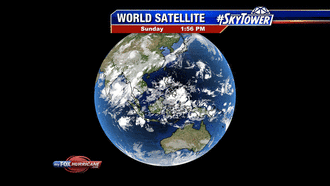
World Satellite View
-
E Africa Satellite
-
Africa Satellite
-
W Africa Satellite
-
Atlantic Satellite
Additional World Views
-
US Satellite
-
Pacific Satellite
-
W Pacific Satellite
-
GFS Global View

WRF Model Views
-
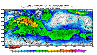
WRF Shear Model
-
WRF Tropical Model
-
WRF Caribbean Model
-
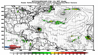
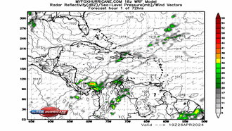
WRF Atlantic Model

GFS Extended Atlantic Model Views
-
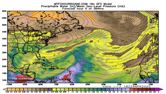
GFS Atlantic Prec. Water
-
GFS Atlantic Wind Speed
-
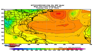
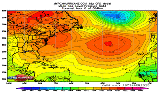
GFS Atlantic Pressure
-
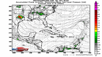
GFS Atlantic Accum. Prec.


GFS Extended Caribbean Model Views
-
GFS Caribbean Prec. Water
-
GFS Caribbean Wind Speed
-
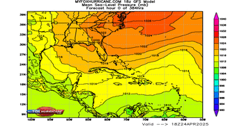
GFS Caribbean Pressure
-
GFS Caribbean Accum. Prec.


5km ARW WRF Model Views
-
NE 5km WRF Model
-
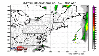
E.Coast 5km WRF Model
-
Florida 5km WRF Model
-
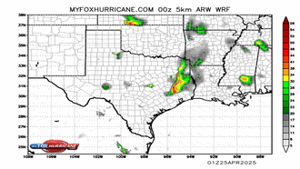
W.Gulf 5km WRF Model


CMC Model Views
-
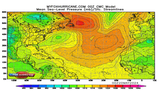
CMC Atlantic MSLP
-
CMC Caribbean MSLP
-
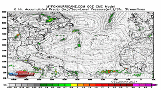
CMC Atlantic Accum. Prec.
-
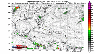
CMC Caribbean Accum. Prec.

Sea Surface Temp. Anomalies
-
SST. Anom. Atlantic
-
SST. Anom. W. Atlantic
-
SST. Anom. Caribbean
-
SST. Anom. W. Hemisphere


Additional Models
-
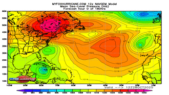
NAVGEM Atlantic Model
-
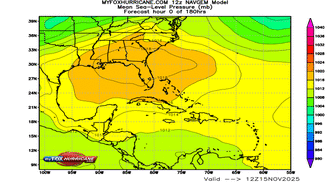
NAVGEM Caribbean Model
-
WRF Hurricane Model
-
Sea Surface Temperatures

Storm Preparation Guide
county-by-county pages
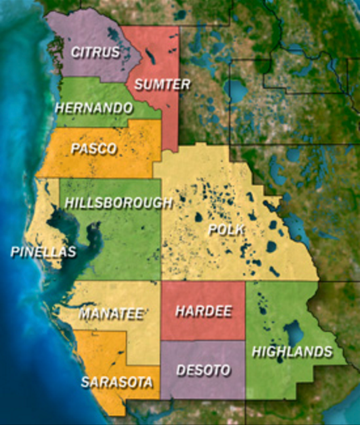 Click on your county above for specific evacuation zones, and emergency contacts.