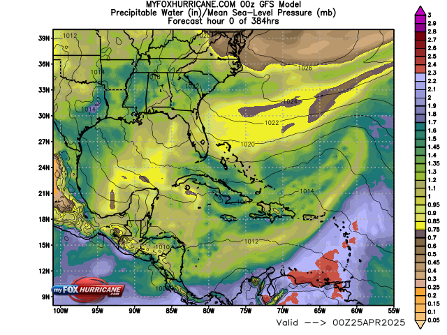
Extended GFS Model | Precipitable Water

Extended GFS Model Description
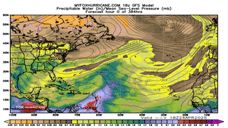
The Global Forecast System is a global numerical computer model run by NOAA. This mathematical model is run four times a day. It is an excellent model in the one- to five-day range. The accuracy drops significantly after day five, and significant long-range forecast changes are noted from run to run.
The graphics above show precipitable water in inches. Precipitable water is the amount of water in a column if all the water vapor were condensed to liquid water. Higher values show more potential for heavy rain and flooding if rain is forecasted. Drier air is indicated in the shades of brown. Moist air is indicated by the shades of red.
The black lines are isobars expressed in millibars (lines of equal pressure). The closer the lines are to each other, the stronger the winds.
Remember that these are mathematical models with varying initial assumptions. Thus, different models produce different final results. They do not necessarily reflect the "official" hurricane track issued by the National Hurricane Center. Forecasters review all of the model data but use their own experience and scientific expertise to arrive at a final forecast.
Additional Weather Maps
-

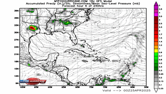
GFS Model Accum. Prec.
-
GFS Model Winds
-
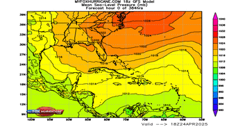
GFS Model Pressure
-
GFS Model Prec. Water

Storm Preparation Guide
county-by-county pages
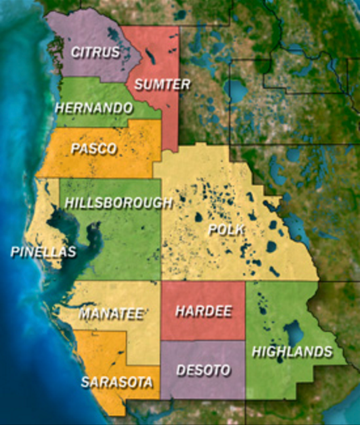 Click on your county above for specific evacuation zones, and emergency contacts.