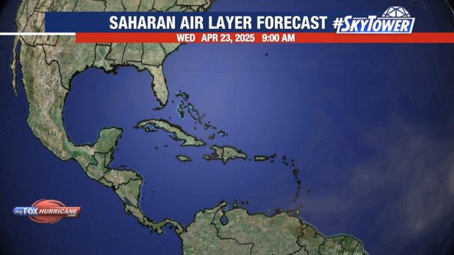
Saharan Air Layer Forecast | Caribbean View

Saharan Air Layer Forecast Description
The Saharan Air Layer, also known as Saharan Dust, is made of sand, dirt, and other dust that is lifted into the atmosphere from the vast desert area that covers most of North Africa. This dust is carried in the African Waves which push westward into the Atlantic Ocean.
The Saharan Air Layer is a well-mixed dry pocket of air that usually resides between 5,000 and 15,000 feet above sea level. Since one of the key ingredients for tropical cyclone development is a deep feed of moisture, Saharan Dust often acts to inhibit tropical development.
Once a pocket a Saharan Dust begins moving westward over the Atlantic, it is relatively easy to track using infrared satellite products. This model combines the forecasted development and movement of the Saharan Air Layer with the GFS precipitation rate and pressure contours to depict the movement of the layer.
Additional Weather Maps
-

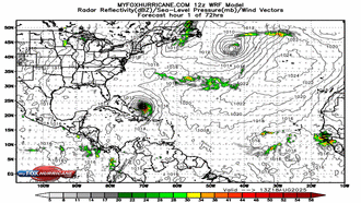
WRF Atlantic Model
-
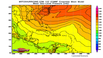
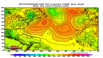
ECMWF Ensemble Caribbean
-
ECMWF Ensemble Atlantic
-
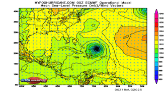
ECMWF Operational Caribbean
Storm Preparation Guide
county-by-county pages
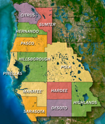 Click on your county above for specific evacuation zones, and emergency contacts.