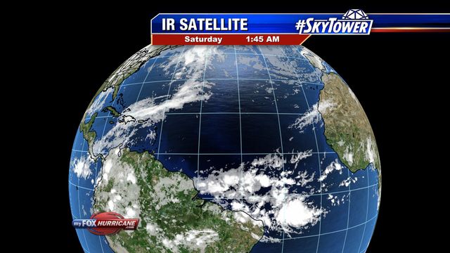
Eastern Atlantic Satellite View

About this Map
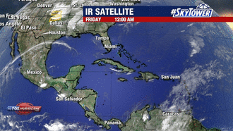
The satellite images on this map are from various Geostationary satellites. These satellites are composed of sophisticated instruments for sensing various aspects of the Earth’s atmosphere and weather systems. Infrared satellite imagery on this map uses the temperature of the clouds themselves to display the image. Since the image based on temperature we are able to detect the strongest parts of storms and to view the clouds at night time.
Additional Weather Maps
-

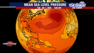
ECMWF Model | Atlantic
-
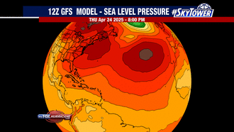
GFS Model | Atlantic
-
Caribbean Satellite
-
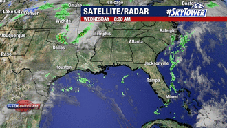
Southeast Satellite/Radar
Storm Preparation Guide
county-by-county pages
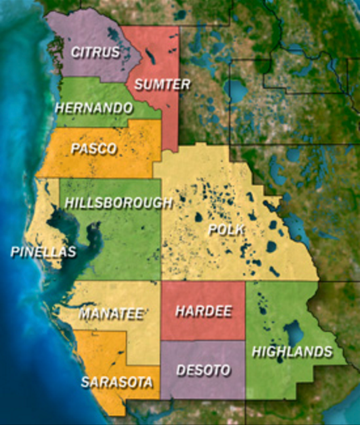 Click on your county above for specific evacuation zones, and emergency contacts.