Radar View
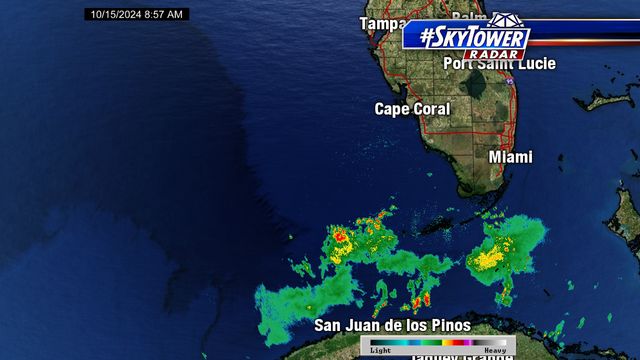

About this Map
Radar is used for locating rainfall. Advancements in Radar technology have led to not only increased accuracy, but give a much better view of the structure of storms and tropical systems. Dual-Pol Radars send out a vertical and horizontal beams of energy to interrogate a storm to determine if it contains hail, snow, or even debris. They are much better at identifying the most severe cells inside of a line of storms leading to earlier warning times of tornadoes and severe storms.
Additional Weather Maps
-

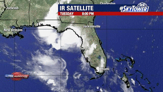
Satellite View
-
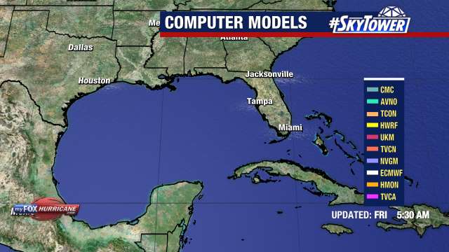
Models
-
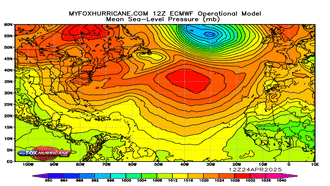
ECMWF Atlantic MSLP
-
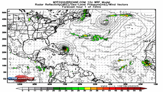
WRF Atlantic Model
Storm Preparation Guide
county-by-county pages
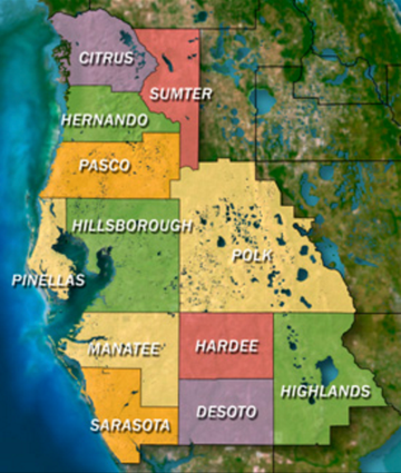 Click on your county above for specific evacuation zones, and emergency contacts.