Waves Heights
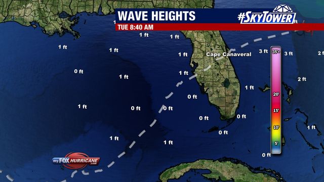
About this Map
Wave Height information is collected from various sources including Buoy, CMAN, ship reports, and satellite derived data. The data is then compiled into grids and contoured on maps once an hour. Since the data is contoured, extreme highs or lows within the data set can sometimes be averaged out.
Additional Weather Maps
-

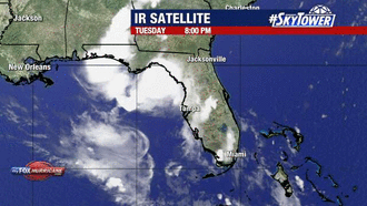
Satellite View
-
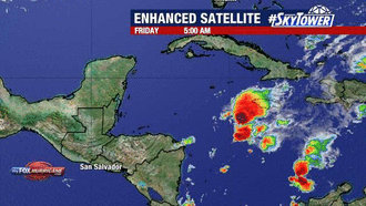
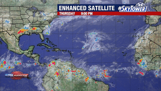
Enhanced Satellite
-
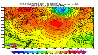
ECMWF Atlantic MSLP
-
Enhanced Atlantic View
Storm Preparation Guide
county-by-county pages
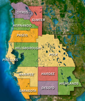 Click on your county above for specific evacuation zones, and emergency contacts.