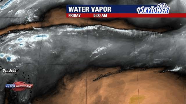
Water Vapor View

About this Map
The satellite images on this map are from the GOES satellite. The GOES satellite is composed of sophisticated instruments for sensing various aspects of the Earth’s atmosphere and weather systems. Water Vapor satellite imagery on this map is use to analyze the presence of moisture in the form of water vapor in the upper and middle levels of the atmosphere.
Additional Weather Maps
-

Satellite View
-
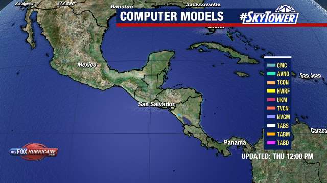
Models
-
ECMWF Atlantic MSLP
-
WRF Atlantic Model
Storm Preparation Guide
county-by-county pages
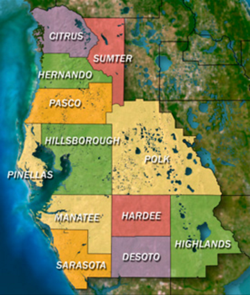 Click on your county above for specific evacuation zones, and emergency contacts.